-
Go

-
Go

-
Go

About Treks Himalaya
Treks Himalaya is a government register indoor and outdoor reputated trekking company based in Nepal, specializing in organizing trekking and adventure trips in the Himalayan region. Nepal is renowned for its spectacular landscapes, diverse cultures and challenging trekking routes, making it a popular destination for adventure enthusiasts from around the world.
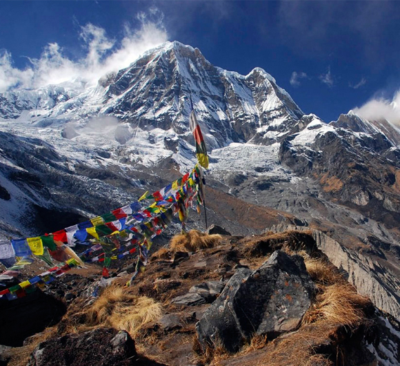
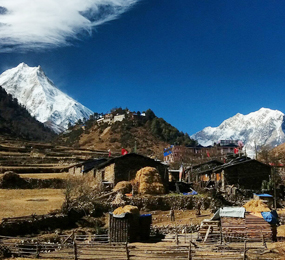
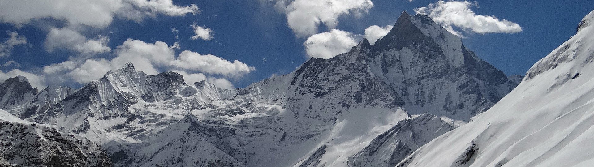
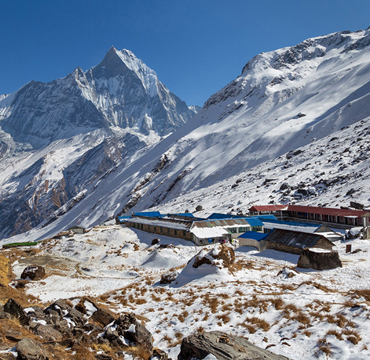
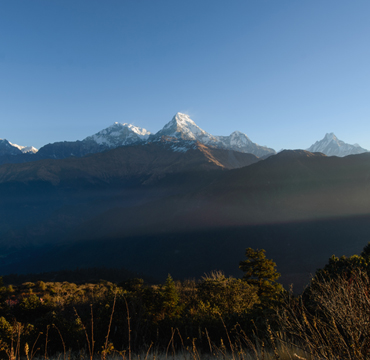
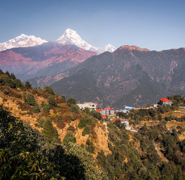
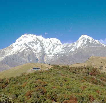
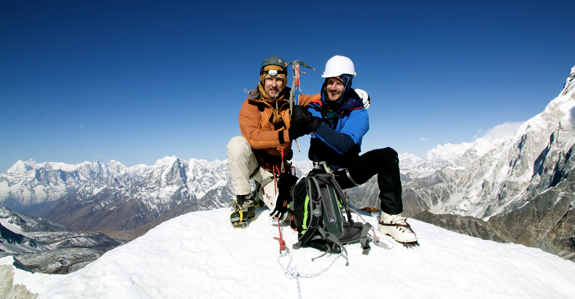
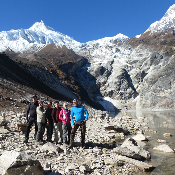
We offers a wide range of trekking options, including popular route of Annapurna Base Camp where you can see view in 360 degree angle with sunrise and sunset is one of them marvelous pure nature scenery which you never seen, so once is not enough. We organize trekking peaks expeditions, cultural tours, jungle safaris and others unbelievable spectacular adventure activities in Nepal.
The company typically provides experienced well trained and professional employees to ensure we provide the best service to our clients, and logistical support to ensure a safe and enjoyable trekking experience for their clients. Additionally, they often emphasize responsible and sustainable tourism practices to minimize environmental impact and support local communities. The combination of well-trained staff, knowledgeable guides, and a dedication to customer satisfaction sets we are apart as a reputable choice for those looking to explore Nepal's wonders.
Importance of working emphasize with a trusted company, reassuring potential clients that will be good throughout their journey. Offering unforgettable experiences at affordable prices is a charming procedure for creating lasting memories and encourage repeat visitors. More......
Popular Destination
We're gonna make our dreams come true